Lasers For Geospatial Applications
Power Technology2023-06-06T10:49:51-05:00Geospatial / LiDAR Lasers
Lasers play a critical role in geospatial and LiDAR (Light Detection and Ranging) applications, which involve the use of lasers to measure distances, create maps, and gather detailed information about the surface of the earth and other objects.
In geospatial applications, lasers are used to create high-resolution maps of the earth’s surface. These maps can be used for a variety of purposes, including land use planning, transportation, and environmental monitoring. Lasers are particularly useful for creating these maps because they can provide accurate measurements over long distances and in challenging environments, such as dense forests or urban areas.
LiDAR systems use lasers to create detailed 3D maps of the earth’s surface. These maps can be used to visualize the topography of an area, measure the height of buildings or trees, and gather other important information. LiDAR systems are often used in surveying, engineering, and environmental applications, as well as in autonomous vehicles and other applications that require precise 3D mapping.
There are several types of lasers that are used in geospatial and LiDAR applications, including continuous wave lasers and pulsed lasers. Pulsed lasers are particularly useful in these applications because they can provide accurate measurements over long distances and in challenging environments.

Pulsed Laser Modules
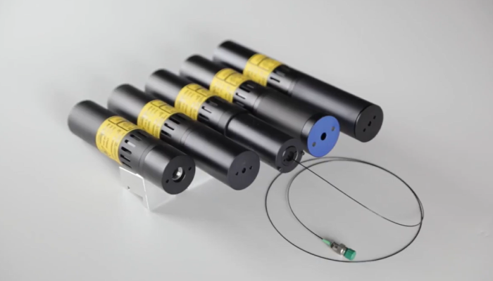
Pulsed lasers are widely used in geospatial and lidar (Light Detection and Ranging) applications. These lasers emit short bursts of high-intensity light that can be used to measure distances, create high-resolution maps, and gather detailed information about the surface of the earth and other objects.
Pulsed lasers are particularly useful in lidar systems because they can provide accurate measurements over long distances and in challenging environments, such as dense forests or urban areas. In geospatial applications, pulsed lasers are often used to create high-resolution maps of the earth's surface, which can be used for a variety of purposes, including land use planning, transportation, and environmental monitoring.

Random Pattern Generators
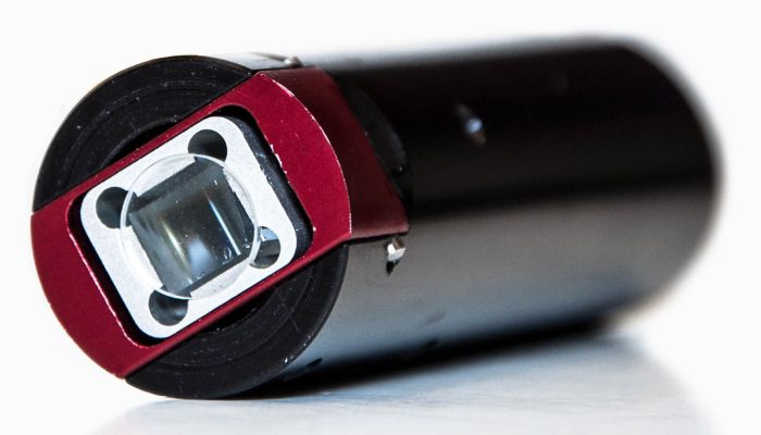
The PNF laser was designed expressly for 3D Machine vision applications including 3D profiling or mapping, dimensional scanning, high-speed rail or road inspection, web inspection and florescence. The uniform intensity line produced by the PNF directly supports these applications.
PNF Lasers can deliver from 0.1mW to 200mW of output power from 405nm to 2330nm. Additional features include high beam pointing stability over temperature, high optical power stability, and CW or Optional digital/analog modulation up to 500kHz.
The PNF Series of machine vision lasers can be configured for optimal performance at close or long range. PTI’s unique Variable Focus (TM) Technology allows the user to calibrate the focus of the module and then re-tune the line generator for optimal performance.

Modulated Laser Modules
TTL (Transistor-Transistor Logic) modulation is a method of controlling a laser’s output by using an external electrical signal to turn the laser on and off. This allows the laser to be modulated at a high frequency, which is useful in applications such as laser scanning and optical communication. Power Technology provides a variety of laser modules that offer both analog and TTL modulation options.
Analog TTL modulation uses an analog voltage signal to control the laser’s output. The voltage level of the signal determines the amount of laser power that is emitted. This allows for continuous and smooth control of the laser’s output, which is useful in applications where precise control of the laser power is required.
Digital TTL modulation, on the other hand, uses a digital signal to control the laser’s output. The digital signal is either on or off, which corresponds to the laser being on or off. This allows for fast switching of the laser’s output, which is useful in applications such as data transmission and laser scanning.

Walter Burgess, Co-CEO of Power Technology, Inc. recently sat down with the hosts of The Geoholics podcast in Denver, CO at Geoweek 2023. Listen to their talk below to further your understanding of the intersection between lasers and the geospatial industry.
The Geoholics and Power Technology, Inc. Co-CEO Walter Burgess discuss how lasers are driving innovation in an industry ever more reliant on precision light sources.
Contact Us
Do you want to learn more about lasers in the geospatial and LiDAR industry? Contact us using the form below to speak with our team of experts. We can help you understand the role of lasers in data gathering and answer any questions you may have. Let us know how we can assist you. We look forward to hearing from you through our live chat, online form, or phone number below for custom quotes.
